
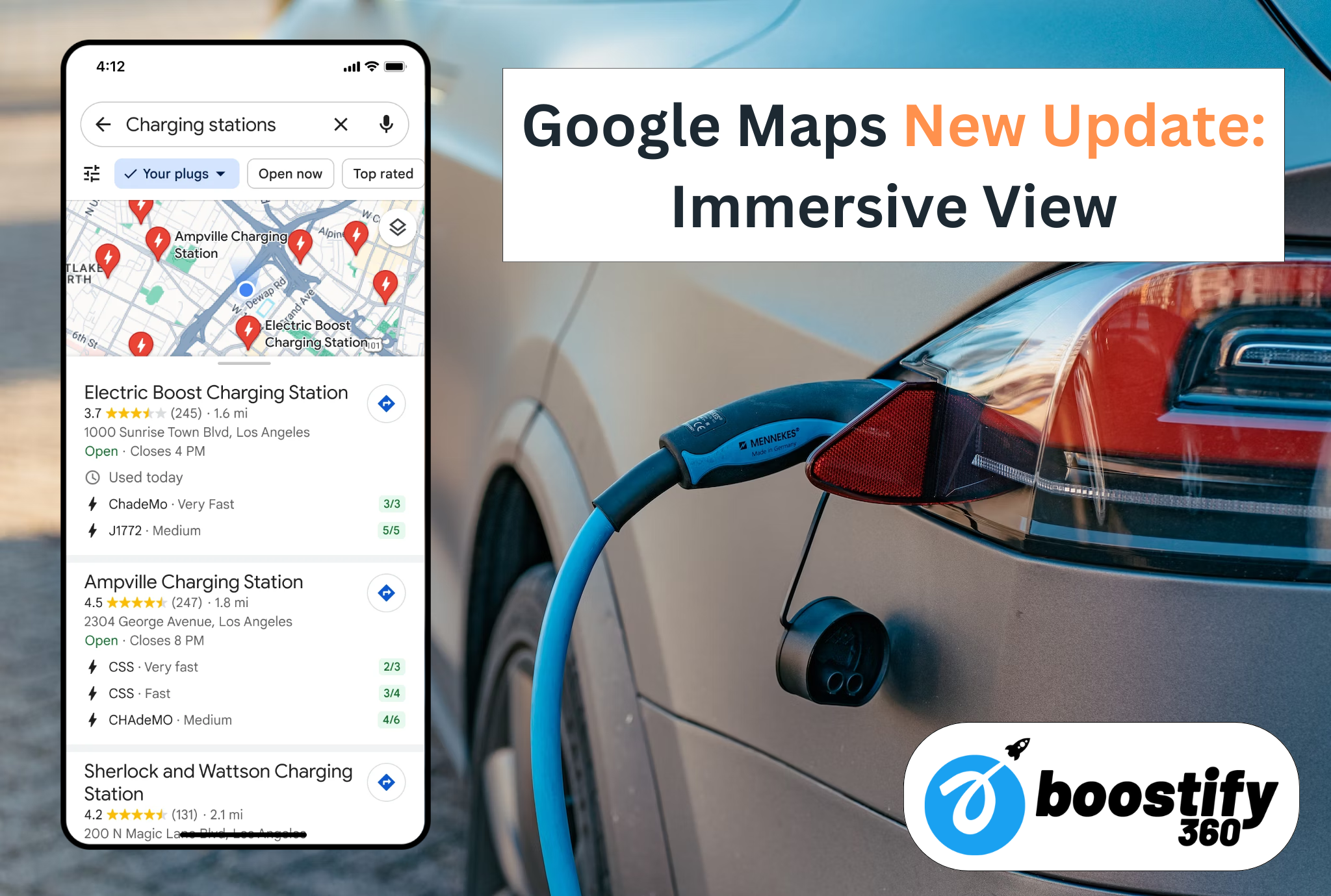
Google Maps is one of the most used applications in the world with over 1 billion active users. The application covers over 200 countries and supports more than 38 languages. Millions of businesses are listed on Google Maps and it is the go-to application for finding the path around in an unknown city. If you already use the application, there is good news for you – Google Maps has just gotten better after the new update. The new Immersive View update and AI features have just made the application more user-friendly.
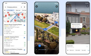
Google has made some pretty solid upgrades to the application. Google Maps has made our journey efficient by automatically suggesting the shortest and most efficient route. Furthermore, the Live View can help a person orient themselves better when trying to find some specific location. Now, with the integration of AI features, the users will be able to make smart choices as well.
Google Immersive View: Know Before you Go!
Google has reimagined the way people will make use of Google Maps – AI will now help you plan your trips in advance. Immersive View for Routes will give you an immersive journey for every mile you travel – much like a video game. The update has already rolled out in Amsterdam, Barcelona, Dublin, Florence, Las Vegas, London, Miami, Los Angeles, New York, Paris and San Francisco. Soon, Tokyo and Venice will also be added for both iOS and Android phones.
The Immersive View will give you a multi-dimensional view of your surroundings while will factor for the weather and time of day when the place is viewed. Each turn can be prepared in advance and the time slider will display useful information related to the trip. Weather and traffic conditions will be simulated. This way, you can avoid bad weather or heavy traffic if you are short on time.
How does Google Immersive View work?
Google Immersive View takes millions of images from Google Street View and uses powerful AI based processing algorithms to fuse it with satellite imagery. Google is even giving the developers option to make their own immersive experience with the launch of Photorealistic 3D Tiles in Google Map Platform. Similarly, the Google Photo-First search is also aimed at making Google Maps more visual.
Better Situational Awareness with Lens in Google Maps
Google Maps will now come with a Lens which will let you find the nearest subways station or help you orient in the direction to the nearest superstore. This feature is most helpful for international students or people visiting a foreign country for the first time. Users will be getting a lot of proximity based information on the tap of a single button. Lens is making use of AI and augmented reality to make the magic happen. This will create brilliant prospects for local businesses which lack visibility. Local business owners looking to improve visibility should definitely check out our blog!
How Does Lens Work?
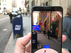
Google has gone to great lengths to make the feature user-friendly. All you need to do is simply click the camera button and move the phone in anticlockwise or clockwise direction. All the nearby hotspots will become visible instantly. For the feature to work seamlessly, the mobile needs to be connected with an internet connection.
Navigating Traffic Becomes a Speed Run with Google Maps
Google Maps is the go-to application for millions of drivers in the United States. The application has made navigating traffic jams much easier with Google Immersive view. Users will see the buildings, corners, turns etc. in color. This can help the person in better orienting themselves with respect to the building. This feature is coming to twelve countries initially including the United States, Canada, France, and Germany.
Lane information has also been upgraded and if there are any High Occupancy Vehicles (HOVs), the users will be intimated in advance. In Europe’s, the maps will go one-step further by displaying speed information and this feature is expanding to 20 countries in the days to come. Users who frequently miss turns are in for a treat – the interface will display speed-signs and warn the driver where necessary.
Range Anxiety Gone with more EV Information
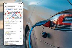
One of the most crucial factors associated with electric vehicles is range anxiety and this factor can be effectively overcome by the new Google Maps update. The electric vehicle drivers will get information regarding nearby EV charging stations – range anxiety gone for good. The Maps will go one step further by automatically figuring out which charge is compatible with the user’s vehicle and help the user find the right type of charging point. These updates are gradually rolling out and we are excited for these amazing releases.
The EV charging information has been made public for the developer and Google is providing developers with Places API so companies can show real-time charging information on their websites. This will surely help the car companies jack up their sales.
If you are interested in the latest Google Maps Updates, make sure to follow us!